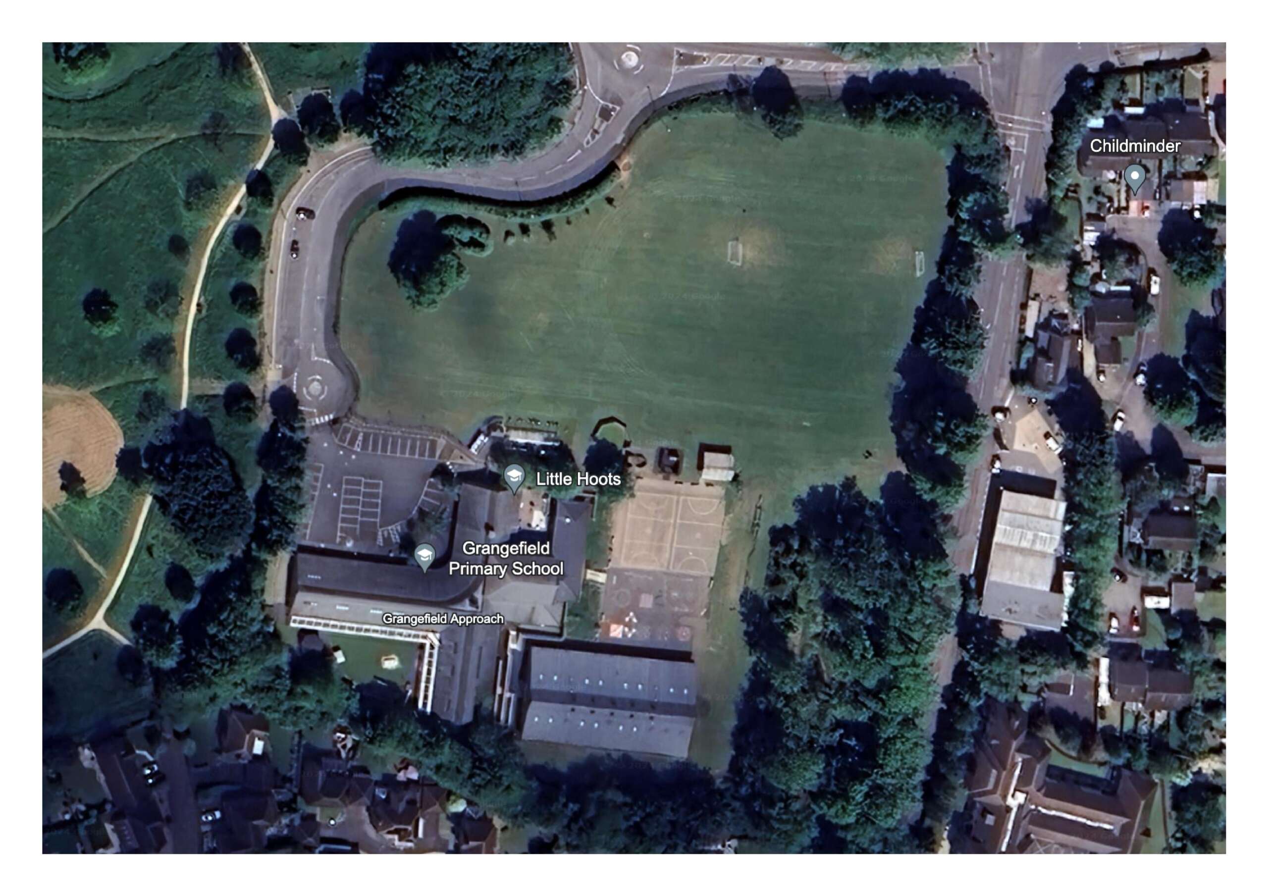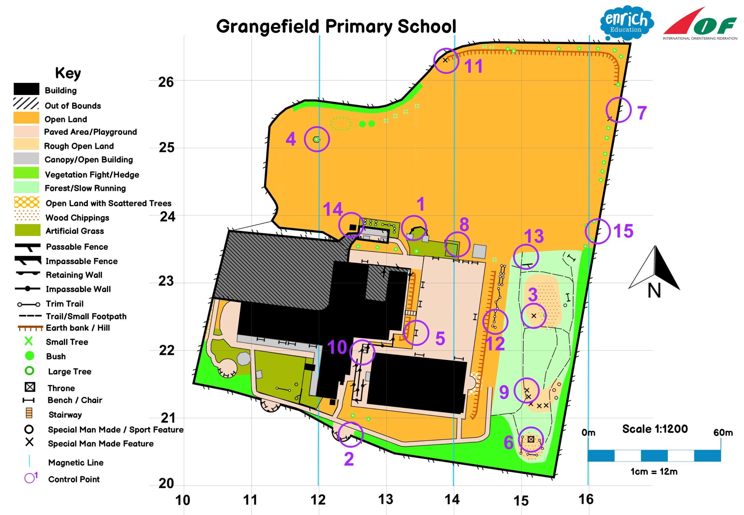
Isnt this Map delightful? Im posting today after some months of becoming integrated into Enrich Education as an Outdoor Learning Co-Ordinator. Have thought it might be useful to show some evidence of what Im creating, now up to three of these schools a week. Whereas previously I surveyed these, drew, then came back to check first drafts and instal courses- I now do all those things in a day, and this is where the genius is of our package- theres now need to try and find an INSET day to do teacher training, it just all happens on the day that is booked for the visit. So needless to say theres multiple challenges of this work, the first being how much can I see of the site from Google Earth before the day, which gives me chance to prepare, scale and set up the map template. Then on the day discovering the areas which the school want the children to navigate around, the site managers requirements and more, so these map and course productions really are bespoke, an overused word today meaning that I can only bespeak the clients requirements with them on the day of production. So challenging days at School and its also a change to be instructing teachers now rather than coaching classes, however that in itself has an element of enjoyment with first time navigators coming to see the magic of what can be done within a school site. You can get a good look at the base picture below for a feel of how it is creating new maps. Anybody needing Schools Orienteering / O.A.A. help can contact me jasonf@enricheducationuk.com (possession of this map does not permit school access permission must be sought)